|
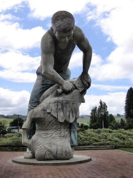
Jan 29 - Feb 1, 2007 Setting our sights inland, we headed towards the Lake Taupo region. But first, we made a quick shopping stop in the "Shearing Capital of the World", Te Kuiti. There we got a more detailed look at a Maori Marae or the tribal community home containing the meeting house with its three carved poles.
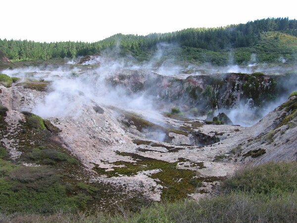
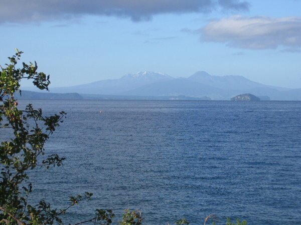
In the morning we completed our drive to Lake Taupo. The lake was formed by one of the largest volcanic eruptions of all time, approx. 26,500 years ago. For comparison, the eruption produced 100 times the ash of the more famous eruption at Krakatoa and nearly 200 times the ash of Mt. St. Helens. The area is still a geothermal hotspot with hundreds of geysers, steam vents and mud pots to be found. We spent a couple of hours wandering around the thermal area at the DOC run Craters of the Moon. While very interesting, our experience in the altiplano of Chile - the Taito Geyser Field was our most astounding geothermal find.
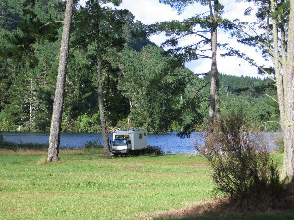
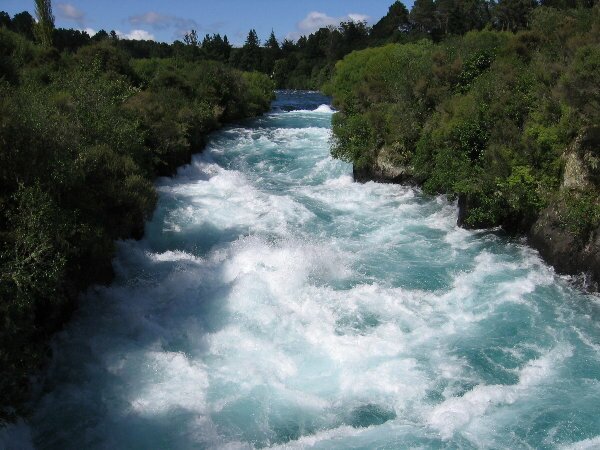
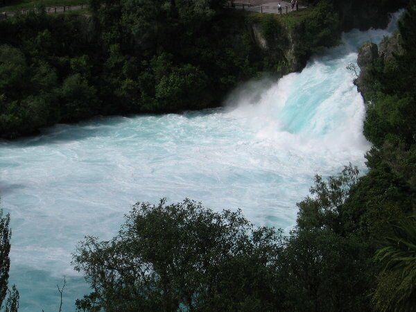
We also visited the thundering cataract at Huka Falls where the Waikato River starts its run to the Tasman Sea by racing through a 30 foot cleft in the rock at the north end of Lake Taupo. Many of the natural attractions are free however donations are requested for the volunteers who watch over the vehicles in the car parks. It appears that there is a big crime problem with vehicles being broken into while the occupants are out exploring. We asked about this problem and were told that the police where out on "revenue runs". What are these? Catching speeders and other traffic infractions - although to tell the truth we have seen so few police cars in NZ that we could count them on one hand. Lake Taupo is proclaimed as the trout fishing capital of the world. No we didn't attempt to find out as we realized a long time ago that fishing is not one of our strong points. Besides, the wind was blowing so strong that there were white caps on the lake. We just enjoyed the town and took care of more mundane things like laundry and groceries. We found a great lakeside park to set up camp for the night and were treated to a group of parachutists who floated down above us to land at a nearby airport. Before leaving town we made reservations to rent a canoe for a four day paddle down the Whanganui River, the longest navigable river in the country and one steeped in history.
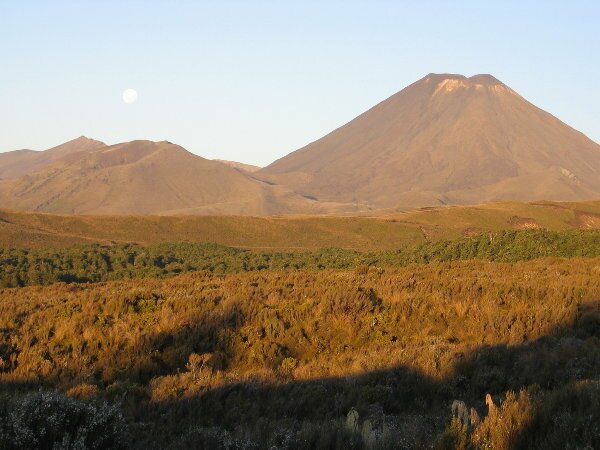
A short way south of the lake is the Tongariro National Park which contains several volcanoes and lots of hiking, or as they call it here - tramping, possibilities. The park was also used as the backdrop for part of the Lord of the Rings, the volcanoes standing in for the land of Mordor. We had been considering doing the Tongariro Crossing, a 17km tramp up and between several of the volcanic craters, but the weather has been iffy so we chose a different 14 km tramp up to a couple of smaller volcanic crater lakes, the Tama Lakes, instead. The park got its beginnings when the local Maori Chief donated the land containing the three sacred peaks to New Zealand to be preserved, thus becoming the nation's first national park. The really big mountain that looms over the park is Ruapehu and it last erupted in 1996. An earlier eruption in 1953 released the water held in its crater lake causing a lahar, or massive mudflow, that flowed all the way to the ocean and swept away a train bridge and train. On our way here we read that scientists had warned that a new Lahar was possible as the crater lake was rapidly reaching its maximum size and that the volcanic dam holding it in place could collapse at any time. When we arrived at the park we saw warnings that explained what to do if the warning sirens went off as much of the village in the park is in the potential flood area. Although the lake hasn't collapsed yet, it could go during our stay in NZ.
Tomorrow we head to our put in on the Whanganui River for our four day river trip. |