|
Feb 20-25, 2007
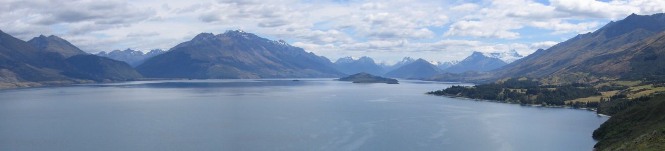
We stopped in the lovely tourist town of Wanaka to run errands. Wanaka is situated on Lake Wanaka with a great grassy waterfront (and a nice parking lot). After running our errands, we parked in the lot and had lunch. Part of the entertainment was watching all the young backpackers sunning on the grass "beach". We continued on to a couple of Central Otego Valley wineries where we spent some time chatting with the winemakers about winemaking and the region. One of them gave us some tips on areas to camp. We continued down the road and found a beautiful camping spot on the bank of a glacial-fed river, the Kawarau River. But unfortunately the wind came up and starting blowing ground schist (really powdery sand) all over the place. It was unfortunate, but we needed to move. We continued along the river until we found a place to camp in a deep canyon with the "Roaring Meg Rapid". We had a change of plans from driving along the Shotover River thru Skippers Canyon as information we received indicated that the road is only barely wide enough for one jeep at a time with deep drop offs. So when we got to Queenstown we made a quick stop at an internet cafe and then decided to avoid the town as it is extremely touristy. From one of the owners of a winery we visited yesterday, we were told that the drive to Glenorchy and up to the end of the forest road was not to be missed. One thing that NZ has is a very good information network. Between the I-Sites and the DOC Information Offices we can find out just about anything on the areas that we go through. The drive along the lake from Queenstown is fantastic. Snow capped mountains in the background with the glacial blue color of the water in front.
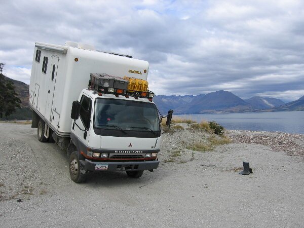
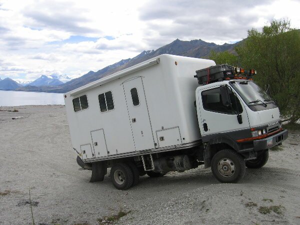
When we stopped for lunch, we found an area on the beach to do a little "4 wheeling".
In Glenorchy, the DOC people told us that the road up the Dart River is in good condition and that we only have to watch out for the many fords along the way. So we headed on up and found the "fords" to be laughable. Most of the cars on the road were sedans and several of them stopped at the water crossings to take photos of their cars going through them. When we got to the end of the road, we decided to drive down onto a sand bar in the Dart River and make camp - just because we could. Although we got attacked by the black flies on the sand bar, we did a hike along a trail where strangely, there were no biting flies. When we returned from our hike we sat in the security of our camper and watched all the other people give up on the idea of making camp here (because of the flies) and flee back into town. We got a kick out of waving to the jetboat passengers and seeing them return our waves as one as they sped by.
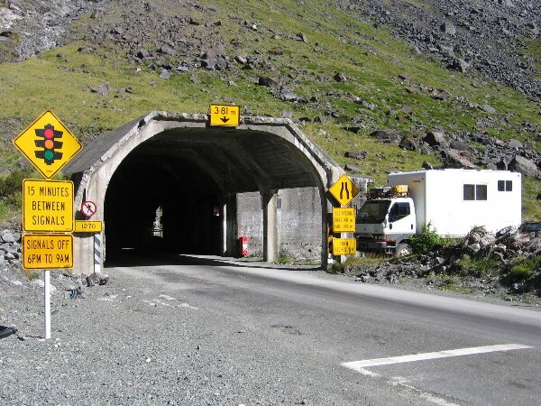
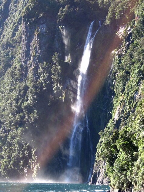
Our guide book says that the Milford area should be visited regardless of the weather as the more rain that falls creates more waterfalls to be seen. The rain did however, stop in morning and sun came out. The road from Te Anau to Milford Sound is incredible.
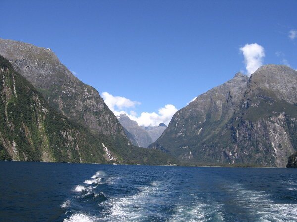
Arriving in Milford, we decided not to wait on a boat trip because the weather was gorgeous and we were able to go out on the last boat of the day. It was windy but nice to be out on the sound without the huge tour boats. We saw Dusky Dolphins and lots of gorgeous scenery with lots and lots of waterfalls, a fault line and a glacier remnant. We made camp in the parking lot and, again, watched others deal with the hordes of sand flies from the security of the Fuso.
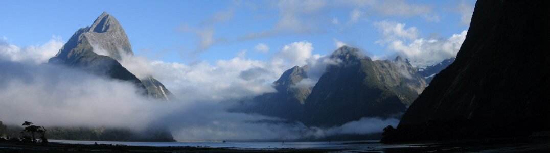
In the morning we took a walk along the bay. There was lots of fog but also some interesting views of the mountains and the sound through the clouds.
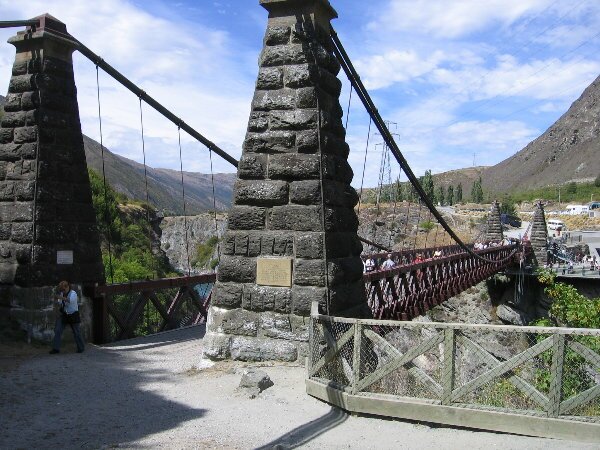
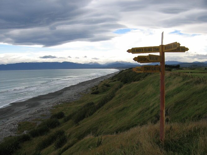
We drove back from Milford with more stops along the way. There was "The Chasm", where the river drops through a chasm in the rocks and under a natural rock bridge, Gertrude Valley, just below the tunnel with gorgeous views and Mirror Lakes which reflect the mountains on the other side of the valley and water so clear you can see rainbow trout swimming and skaup (ducks) diving under the water. We continued south along the shoreline of Lake Te Anau and then Lake Manapouri before finding an out-of-the-way site on the Waiau River to set up a quiet camp for the night. Heading south along the Southern Scenic Route, we stopped to explore another historic suspension bridge, this one just outside of Clifden, built in 1899. Coming back to the shoreline on the south, we were now driving along the Foveaux Strait. We stopped at a lookout and were surprised to see small Hector's dolphins surfing the waves along the beach. We stopped for a lunch of steamed mussels and bread in Riverton, then drove through Invercargill with its old buildings along its main street, North Road, on our way to the end of the north/south highway in Bluff.
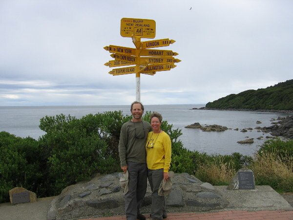
While not the southernmost point in New Zealand, Bluff is the end or the beginning of Highway 1, the main north/south route crossing both islands. In the town center we stopped to look at a Maori Marae that was different from all others we've seen in that rather than the usual three ancestor pillars in the front of the building, this one had three trusses at the entrances with ancestor figurines on them. We made camp at the Green Point Trailhead where we hiked along the bay to the ship graveyard where we could see parts of about 10 ships that had been run aground to die here. Some of the ships were built in the 1800's and we could even see the ballast stones sitting along the ribs of one of the ships at low tide!
|